Environmental Management · Emergency Preparedness · 11 min read
Nepal Flash Flood: When a Warning Must Become Immediate Action
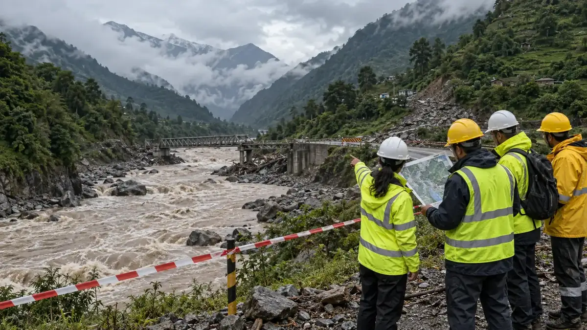
A destructive flood can begin far upstream, change form several times and reach workers or communities before familiar warning signs appear. The Budhi Gandaki event is a reminder that warnings must be connected to clear operational triggers, practiced evacuation and authority to stop work.
What happened
The World Meteorological Organization (WMO) reported on 12 October 2026 that a major flash flood had swept through Nepal's Budhi Gandaki river system in central Nepal on 11 October. Preliminary accounts reviewed by the International Centre for Integrated Mountain Development (ICIMOD) indicate that failure of a temporary river blockage created by a landslide near Chumchet in Gorkha district may have triggered the flood.
ICIMOD said flooding was estimated to have begun at about 4:00 a.m. Nepal time, carrying mud, sediment and debris downstream. Authorities issued warnings for communities along the Budhi Gandaki, Trishuli and Narayani river systems. Initial reports described missing people, houses washed away, bridges lost and damage to riverside infrastructure, including the 341 MW Budhi Gandaki hydropower site at Selleri.
The facts remain preliminary. Search, rescue, evacuation and damage assessment were continuing when the official sources were published. The confirmed cause, final casualty figures and full infrastructure consequences may change as authorities investigate.
Why this is a cascading-hazard event
A cascading hazard is a sequence in which one event creates another. A landslide may block a river; water and sediment accumulate behind the blockage; the temporary dam fails; a fast, debris-laden flood then damages bridges, roads, power systems and settlements downstream.
That sequence is different from ordinary rainfall-driven flooding. The first trigger may be out of sight, the flow can carry large boulders and debris, and the flood can alter the channel or destroy monitoring equipment. Normal river-level assumptions, historic flood marks and a single-hazard emergency plan may therefore be inadequate.
WMO linked the latest incident to changing high-mountain conditions. Glacier retreat, thawing permafrost, unstable slopes, changing precipitation and earlier earthquake damage can interact. These factors do not establish the cause of this event, but they reinforce the need to assess slopes, ice, lakes and rivers as one connected system.
Why a warning may still fail
Nepal has improved hydrological monitoring and issued SMS warnings during earlier major floods. WMO reports that some recipients nevertheless doubted the severity because they had never experienced an event of that scale. Some people even entered flood-prone areas to take photographs and videos.
This is an important lesson for workplaces. Sending an alert is not the same as achieving protective action. A warning must tell people what is happening, what area is affected, what they must do now, which routes are safe and who has authority to stop work or evacuate.
Warnings also need credibility before the emergency. If people regularly receive vague alerts with no clear action, or if production pressure discourages shutdown, they may delay when a high-consequence event arrives.
Immediate controls for exposed sites
- Identify upstream triggers, not only local rainfall. Include landslides, temporary river blockages, glacial or high-altitude lake changes, dam failures and sudden debris flows in the site risk register.
- Set conservative action thresholds. Define when to suspend river crossings, excavation, lifting, blasting, water work, road travel, hydropower operations and work below unstable slopes.
- Give one role clear shutdown authority. Workers must know who can stop work, isolate equipment, close access and order evacuation without waiting for multiple approvals.
- Move people before assets. Do not send personnel into exposed areas to inspect damage, retrieve equipment or record images while the hazard is evolving.
- Control access visibly. Establish barriers and guards at bridges, riverbanks, low roads, culverts, galleries and other attractive but dangerous observation points.
- Plan more than one escape route. Confirm elevated alternatives, assembly points, transport and arrangements for workers with mobility or communication needs.
- Protect critical environmental barriers. Secure fuel, chemicals, waste, tailings, drainage and wastewater systems against inundation, impact and loss of power.
- Prepare for isolation. Maintain backup power, communications, water, first aid, food and accountable check-in systems for sites that may be cut off.
- Share information across boundaries. Upstream and downstream operators, contractors, communities and authorities need common warning terminology and tested contacts.
- Reassess before re-entry. Floodwater may fall while slopes, bridges, electrical systems, channels and temporary blockages remain unstable.
Infrastructure and environmental questions
Hydropower, mines, quarries, roads, bridges and construction projects in mountain corridors should examine whether design assumptions cover high sediment loads, debris impact, channel migration and simultaneous loss of access, power and communications.
- Can intakes, gates and spill routes pass debris without exposing operators?
- Will fuel tanks, chemical stores, waste areas and wastewater systems remain contained if access is lost?
- Which bridge, road or cable is a single point of failure for evacuation or emergency power?
- Can alarms and shutdowns operate if the primary network or grid fails?
- Where could a landslide create a temporary upstream impoundment?
- What inspection evidence is required before a damaged asset returns to service?
Turn warnings into rehearsed action
Effective early action combines monitoring with decisions that have already been made. A site plan should translate alert levels into named actions: stop defined work, move equipment only if time and conditions permit, evacuate by a specified route, account for everyone and prohibit re-entry until competent assessment.
Drills should test degraded conditions, not ideal ones. Assume a bridge is unavailable, mobile coverage is weak, the night shift has fewer supervisors, visitors do not understand the local language and the first assembly point is threatened. The purpose is to find decision and communication gaps before the flood finds them.
Leadership and toolbox questions
- Which hazard upstream could reach us without heavy rain at this site?
- What warning would make us stop work immediately?
- Who has authority to evacuate, and who is the backup?
- Which route or bridge is our weakest evacuation dependency?
- How do we prevent people entering the hazard zone to inspect or take photographs?
- Can we account for contractors, drivers, visitors and lone workers if networks fail?
- What fuel, chemical, waste or wastewater release could accompany flooding?
- Who verifies slope, structural, electrical and environmental safety before re-entry?
Watch: WMO State of Global Water Resources 2025
This official WMO video explains the increasingly erratic global water cycle and continuing glacier loss that form part of the wider context for changing mountain risk. It does not describe the Budhi Gandaki incident itself; local warnings, investigations and emergency directions remain the operational authority.
Authoritative sources
- WMO — Nepal floods are call to action on compound risksPublished and updated 12 October 2026
- ICIMOD — Landslide-dam breach may have triggered Budhi Gandaki flash floodPublished 11 October 2026; preliminary information as of 11:30 a.m. Nepal time
- WMO — State of Global Water Resources 2025Published 17 September 2026; updated 29 September 2026
Your experience matters
Share your thoughts on this page
Have a question, a useful experience or a suggestion? Add your input below.
Comments are public. Keep them respectful and relevant. Do not share contact details, confidential information or emergency reports.
Comments on this page
Loading comments…