Safety · HSSE Watch
Uncrewed Vessels: Visibility and Monitoring Must Match Autonomy
Published
Collision: 10 August 2024 · NTSB report date: 7 October 2026 · NTSB news release: 27 October 2026 · Worksite Safety Hub article: 28 October 2026
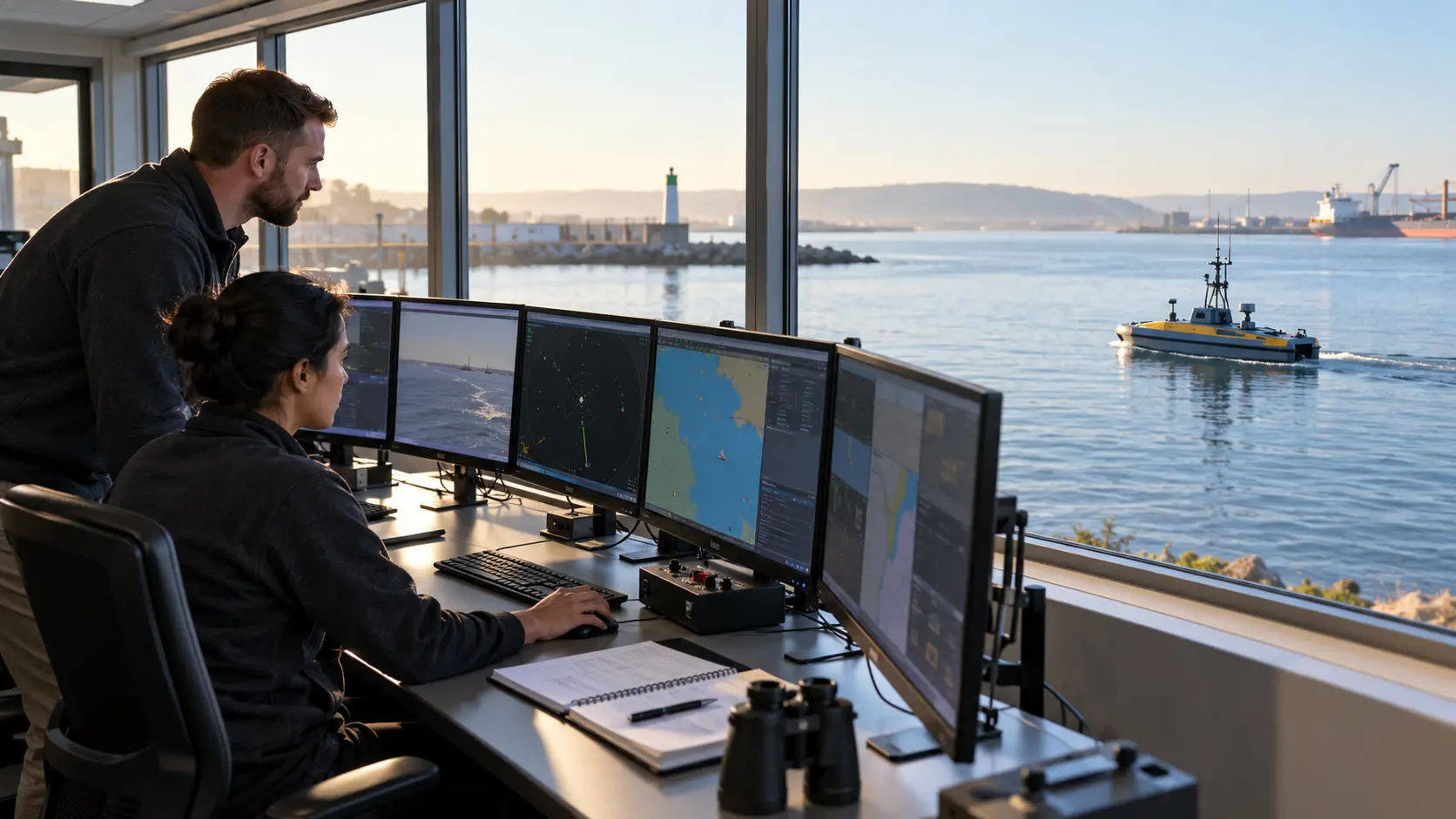
Automation does not remove the need for a lookout. NTSB’s final report on a Lake Erie collision shows that an uncrewed vessel can maintain waypoints yet remain unable to detect, interpret or avoid surrounding traffic. Safe operation depends on tested perceptibility and monitoring that matches the vessel’s real capability in each operating mode.
What happened and what is now confirmed
On 10 August 2024 at about 7:12 PM local time, a 15.7-foot NOAA Great Lakes Environmental Research Laboratory SeaTrac SP-48 uncrewed surface vessel and a privately owned 45-foot recreational vessel collided on Lake Erie, about six miles east-southeast of Monroe, Michigan. The USV became entangled in the recreational vessel’s starboard propeller pod. The vessels were towed together and later separated.
The final NTSB report ↗, dated 7 October 2026, records one minor injury, no reported pollution and estimated combined damage of $286,000. NTSB publicly announced its findings and six recommendations on 27 October 2026. These final findings replace inconsistent preliminary descriptions.
The probable cause: hard to perceive and not actively watched
NTSB determined that the probable cause was the USV’s inadequate perceptibility to nearby vessels, given the operating area and conditions, together with a lack of active monitoring appropriate to its configuration, operating mode and level of autonomy. This left the USV without a proper lookout to avoid collision.
Only about one foot of the USV’s hull was visible above the water. NTSB found that it was unlikely to be perceived electronically by the recreational vessels typically operating there through radar or automatic identification system information, and it had no auditory means to signal its presence. The remote pilot was passively monitoring while the vessel used an adapted hold mode to return automatically to preset waypoints if it moved outside a 150-foot radius.
The vessel could maintain position, but it could not calculate navigation decisions and take appropriate collision-avoidance action. The pilot and operating team were unaware of the collision for more than 30 minutes. NTSB found no causal role for mechanical or electrical failure or loss of dashboard connectivity.
Six recommendations signal a wider standards gap
NTSB recommended that the US Coast Guard develop a national framework for USV perceptibility, collision-avoidance capability and navigational safety, then incorporate those standards into regulation. It asked NOAA to ensure its vessels are perceptible for their operating areas, require representative perceptibility testing and match monitoring to the vessel’s actual autonomy, area and mode. It asked SeaTrac to modify the SP-48 design to improve perceptibility as practicable.
The recommendations are not yet proof that a new regulation has taken effect. They identify a confirmed safety gap and provide an authoritative direction for operators and designers while regulatory work develops.
1. Define autonomy by operating mode
Do not assign one autonomy label to the vessel and assume it applies throughout the mission. Document what the system can sense, decide and execute in manual, transit, station-keeping, hold, degraded and emergency modes. State where human approval or intervention remains essential.
For each mode, identify whether the system can detect other traffic, classify it, predict closest approach, comply with the applicable navigation rules and initiate an effective manoeuvre. If it cannot complete any part of that chain, monitoring and operating restrictions must cover the gap.
2. Test perceptibility against representative traffic
Verify visual, electronic and auditory perceptibility from the perspective of the vessels likely to share the area. A marker that is obvious from the support boat may be difficult to see from a fast recreational craft, tug, fishing vessel or ship bridge in glare, waves, rain or darkness.
Test relevant lighting, contrast, day shapes, radar response, AIS arrangements and sound signals under realistic conditions and within legal requirements. Record detection ranges and limitations. Do not treat the presence of one device as proof that every nearby operator will receive, notice or correctly interpret it.
3. Match active monitoring to intervention time
Set the monitoring level from actual capability, vessel traffic, speed, visibility, environmental conditions and the time needed to assess and intervene. Define what “active” means: who continuously watches, which displays and alerts they use, how they maintain situational awareness and how quickly they can take control.
Measure the full response chain—detection, notification, human assessment, command transmission and vessel reaction. If that time is longer than the developing collision window, reduce exposure through operating-area, traffic, speed, escort or scheduling controls.
4. Make the remote lookout a managed safety-critical role
Specify competence, workload, shift length, handover and distraction controls for remote operators. Avoid assigning simultaneous technical, scientific or administrative work that prevents a continuous traffic watch. Confirm who has navigational authority and how responsibility transfers between operators.
Provide reliable communications and a clearly defined backup when telemetry, camera, AIS, radar, control or power degrades. A connected dashboard can still present an incomplete traffic picture. Remote teams need explicit uncertainty and stop criteria.
5. Control the operating area, not only the vessel
Assess traffic density and type, speed, visibility, water depth, weather, wave conditions, charted features, fishing activity, recreational patterns and emergency access. Coordinate notices and permissions with the responsible authority, but do not assume a notice alone makes the vessel perceptible to everyone on the water.
Establish safe deployment, recovery and holding locations. Confirm whether a support vessel, exclusion arrangement, enhanced marking or restricted operating window is needed. Review the assessment when the mission, software, payload, mast, operating mode or waterway use changes.
6. Exercise failure and recovery
Test loss of communication, position error, unexpected drift, propulsion degradation, sensor failure, traffic conflict and delayed human response. The exercise should confirm detection, escalation, safe-state behaviour, external notification, recovery and evidence preservation.
After a contact or suspected collision, account for people, stop or recover the vessel safely, notify authorities and verify pollution and damage. Preserve logs, video, alerts, operator actions and configuration data without prematurely assigning blame.
Leadership and toolbox questions
- What can this USV actually sense, decide and do in its current mode?
- How have we tested whether typical nearby vessels can see, hear or electronically detect it?
- Who provides the lookout, and what other work competes for their attention?
- How long does intervention take from detection to vessel response?
- Which traffic or environmental condition triggers restriction, escort, recovery or cancellation?
- What is the safe response to lost connectivity or an incomplete traffic picture?
- Which software, payload or operating-area change requires reassessment?
- How would we detect and respond if contact occurred without an immediate alert?
Video availability
No directly relevant authoritative, embeddable NTSB video explaining MIR-26-32 was verified at publication. The report and official release are linked above; unrelated autonomous-vessel footage has not been inserted.
Sources and dates
- NTSB — Stronger safety standards for uncrewed surface vessels following Lake Erie collision ↗Official news release published 27 October 2026. Primary source for the six recommendations and public safety summary.
- NTSB Marine Investigation Report MIR-26-32 ↗Final 63-page report dated 7 October 2026. Primary source for factual findings, probable cause and recommendation text.
- NTSB Investigation DCA24PM057 ↗Official investigation page retained for docket and traceability. Earlier preliminary information on that page may differ from the final report.
Sources checked 28 October 2026. Source statements and original practical applications are distinguished above. Always consult current official advice and applicable local requirements.
Share the lesson
Open the separate 9:16 Pinterest poster
Illustrative visual, not the Lake Erie collision, an actual control room or a technical operating procedure. HSSE TIPS branding appears only in the designed poster footer.
Your experience matters
Share your thoughts on this page
Have a question, a useful experience or a suggestion? Add your input below.
Comments are public. Keep them respectful and relevant. Do not share contact details, confidential information or emergency reports.
Comments on this page
Loading comments…