Environmental Management · HSSE Watch
Rosal Exits PAR: Residual Hazards Still Control Restart
Published · Updated
Material update: PAGASA final Tropical Cyclone Bulletin No. 17F issued 24 October 2026 at 11:00 AM Philippine Standard Time · Final Gale Warning No. 9 issued at 5:00 PM
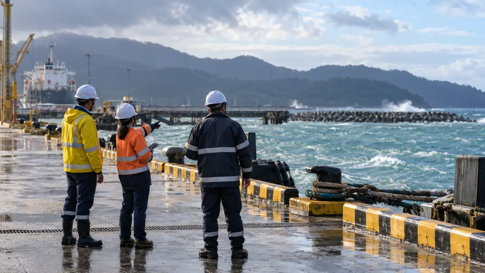
Rosal's exit from the Philippine Area of Responsibility and the removal of Tropical Cyclone Wind Signals do not automatically release work. PAGASA's final products still identify residual wind and marine hazards, so each activity needs current local evidence and an authorised restart decision.
What PAGASA confirmed on 24 October
Final Tropical Cyclone Bulletin No. 17F ↗, issued at 11:00 AM Philippine Standard Time on 24 October 2026, states that Rosal had exited PAR. No Tropical Cyclone Wind Signal remained in effect. PAGASA estimated maximum sustained winds of 120 km/h near the centre, gusts to 150 km/h and forecast further weakening.
The same final bulletin still forecast strong to gale-force gusts in named northern areas. It also retained a Gale Warning and a 24-hour sea outlook reaching 5.5 metres along the northern seaboard of Batanes and 4.5 metres along the northern seaboard of the Babuyan Islands. PAGASA told mariners in the affected high-sea areas to remain in port or seek safe harbour until winds and waves subsided.
Later that day, Final Gale Warning No. 9 ↗, issued at 5:00 PM, described 2.5-to-3.7-metre seas for the extreme northern Luzon seaboard and advised fishing boats and other small craft to take precautions and avoid navigation if possible. This later marine product supersedes the morning gale-warning picture. It shows easing conditions, not a universal all-clear.
Confirmed facts versus operational decisions
Exit from PAR, the absence of a wind signal and the final product times are confirmed official facts. Forecast gusts and wave heights are outlook information. Whether a road, port, vessel, lifting operation, electrical system or workplace is safe must still be determined by the responsible authority and competent people using actual site conditions.
The final bulletin means PAGASA does not expect another Rosal tropical-cyclone bulletin unless the system re-enters PAR. Teams must therefore know which subsequent product—gale warning, local forecast, port notice, road status, coastguard direction or company limit—governs each activity.
1. Use separate release criteria
Create distinct releases for marine movement, road travel, exposed work, lifting, electrical energisation, process restart and environmental systems. A favourable land-weather change cannot override a marine restriction, vessel master's judgement or port instruction.
Record the product number, issue time, location and decision owner. Remove superseded screenshots and make the current controlling source visible at handover.
2. Inspect before people and energy return
When access is safe, inspect roofs, cladding, scaffolds, temporary works, slopes, drainage, roads, lighting, alarms, communications and emergency power. Treat fallen conductors, water ingress, damaged structures and unstable ground as isolation points pending competent assessment.
At marine facilities, inspect moorings, bollards, fenders, gangways, navigation aids, communications and safe boarding arrangements. Verify the weather window for the full task, not only departure.
3. Re-establish environmental safeguards
Check fuel and chemical containment, stormwater isolation, wastewater systems, tank levels, high-level alarms, backup power and spill-response access. Look for displaced materials, damaged drainage and evidence of an uncontrolled release.
Do not expose workers to unresolved life-safety hazards merely to collect environmental evidence. Stabilise access, use competent inspection and notify authorities as required.
4. Restart in controlled stages
Release essential inspection first, then utilities and safeguards, followed by equipment and production stages. Define hold points, competent sign-off and stop criteria for renewed gusts, rising water, unstable access, failed alarms or unexpected damage.
Monitor the first operating period. A system that starts does not prove that all protective layers, drainage or emergency arrangements are reliable.
Leadership and toolbox questions
- Which current product or authority governs each activity now that the cyclone bulletin is final?
- Which marine, road or company restriction remains more conservative?
- What must be inspected before people return or equipment is energised?
- Which environmental safeguard may have failed during loss of power or access?
- Who signs each restart stage and what conditions require another stop?
- How will the next shift know that an older warning screenshot is superseded?
Video availability
No suitable current authoritative video for the final Rosal bulletin was verified at publication. Earlier footage would show a superseded warning picture, so no video is embedded. Use the current PAGASA bulletin page ↗, the marine warning and local authority instructions.
Sources and dates
- DOST-PAGASA — Rosal, Final Tropical Cyclone Bulletin No. 17F (PDF) ↗Issued 24 October 2026 at 11:00 AM Philippine Standard Time. Primary source for exit from PAR, removal of wind signals, residual gust and sea forecasts, and final-bulletin status.
- DOST-PAGASA — Current tropical-cyclone bulletin page ↗Official current page showing no active tropical cyclone within PAR and access to the archived Rosal bulletins.
- DOST-PAGASA — Gale Warning ↗Final Gale Warning No. 9 issued 24 October 2026 at 5:00 PM, with later marine conditions and small-craft advice.
Sources checked 24 October 2026. Source statements and original practical applications are distinguished above. Always consult current official advice and applicable local requirements.
Share the lesson
Open the separate 9:16 Pinterest poster
Illustrative visual, not an actual incident or a technical procedure. HSSE TIPS branding appears only in the designed poster footer.
Your experience matters
Share your thoughts on this page
Have a question, a useful experience or a suggestion? Add your input below.
Comments are public. Keep them respectful and relevant. Do not share contact details, confidential information or emergency reports.
Comments on this page
Loading comments…